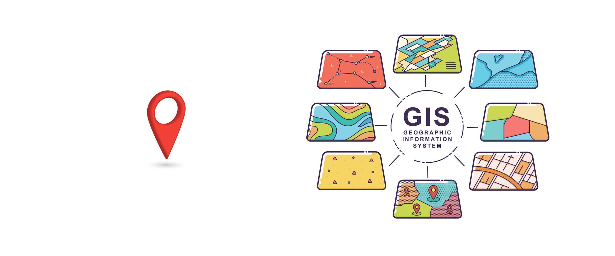
This course takes a broad look at the geospatial sector. Using accessible and non-technical language it addresses the question "What is a GIS, and what can this technology do for me?"
Who is it for?
It provides an important foundation to those who intend to progress to the practical GIS courses. However, it is also suitable as a stand-alone course for anyone looking at the big picture, wanting to know the potential gains and risks of developing geospatial capabilities.
Pre-requisites
: None, other than a keen interest in Geospatial
Estimated learning time
: 45 minutes
For more information:
full course description PDF
In this section the aim is to break out of GIS theory and focus on how the technology is applied; specifically, how it makes a positive impact in people's lives. This page is an expanding library of case studies for your reference. It doesn't contain practical exercises. Check back regularly for new stories and relevant links from the Data for Development community.
Who is it for?
Anyone with an interest in the sector. It is particularly relevant for those working in government administration or NGOs, especially in health, education, population (census) or regional/national infrastructure.
Pre-requisites
: None