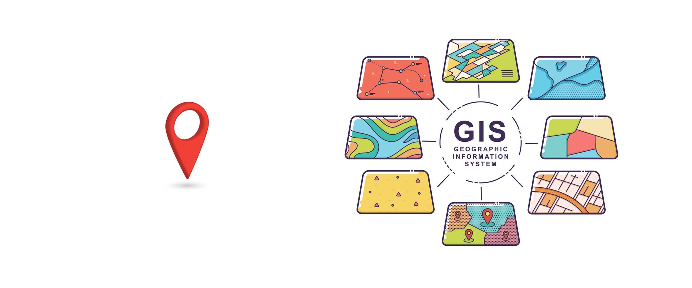
This course takes a broad look at the geospatial sector. Using accessible and non-technical language it addresses the question "What is a GIS, and what can this technology do for me?"
Who is it for?
It provides an important foundation to those who intend to progress to the practical GIS courses. However, it is also suitable as a stand-alone course for anyone looking at the big picture, wanting to know the potential gains and risks of developing geospatial capabilities.
Pre-requisites
: None, other than a keen interest in Geospatial
Estimated learning time
: 45 minutes
For more information:
full course description PDF

In this section the aim is to break out of GIS theory and focus on how the technology is applied; specifically, how it makes a positive impact in people's lives. This page is an expanding library of case studies for your reference. It doesn't contain practical exercises. Check back regularly for new stories and relevant links from the Data for Development community.
Who is it for?
Anyone with an interest in the sector. It is particularly relevant for those working in government administration or NGOs, especially in health, education, population (census) or regional/national infrastructure.
Pre-requisites
: None
This course will introduce the QGIS user interface, getting you familiar with the main tools and functions, to get you going quickly with GIS!
Who is it for?
Newcomers to GIS or those who want to get familiar with QGIS software. It is relevant for those working in government administration or NGOs, especially in health, education, population (census) or regional/national infrastructure.
Pre-requisites
: General IT skills and familiar with Excel/spreadsheets
Estimated learning time
: 2 hours
For more information:
full course description PDF

This course is about getting to grips with GIS Data! It encourages good practice in where to find it, how and where to store it, and documenting your work!
Who is it for?
Newcomers to GIS or those who want to develop good habits in data management, acknowledging that doing so is a critical step towards working effectively in GIS.
Pre-requisites
: General IT skills
Estimated learning time
: 1.5 hours
More information:
full course description PDF

This course is about understanding coordinate reference systems, including map projections, which are used in different countries and regions of the world. Understanding CRS is crucial for accurate positioning of spatial data.
Who is it for?
Newcomers to GIS or those who need to understand issues around coordinate systems, issues which can cause errors for the GIS user.
Pre-requisites
: Basic understanding of QGIS user interface
Estimated learning time
: 2 hours
More information:
full course description PDF
A lot of the data that you will work with in GIS either starts, or can be transformed into table-based data. So it is important to get familiar with the various tools and windows within QGIS for working with this data type. This course will provide that.
Who is it for?
Although Skills taught in this course are applicable to GIS users in most sectors, it is especially relevant for those working in government administration or NGOs, in health, education, population (census) or regional/national infrastructure.
Pre-requisites
: Foundation skills in QGIS (see Courses A001 to A005)
Estimated learning time
: 2 hours
For more information:
full course description PDF

Selections and queries are a set of techniques for sorting through a dataset, in order to isolate the records or features that you want to study. These are essential skills for a GIS user.
Who is it for?
Although Skills taught in this course are applicable to GIS users in most sectors, it is especially relevant for those working in government administration or NGOs, in health, education, population (census) or regional/national infrastructure.
Pre-requisites
: Foundation skills in QGIS (see Courses A001 to A005)
Estimated learning time
: 2 hours
More information:
full course description PDF
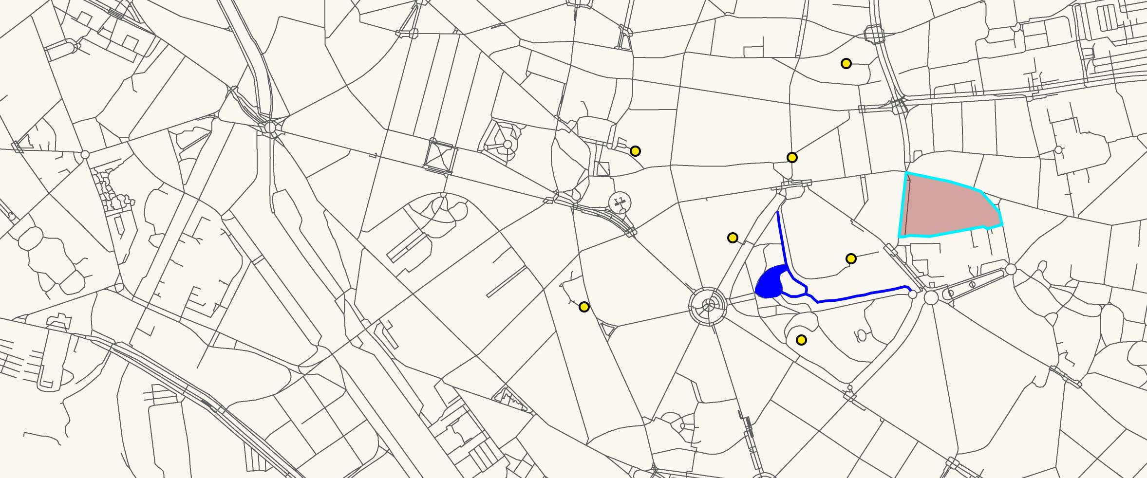
Start creating features on your digital map! Study areas, catchment zones, travel routes, watercourses, locations of health posts or schools, or farms… Literally any geographic feature or phenomena! Get familiar with many different editing tools and techniques.
Who is it for?
Applicable to GIS users in most sectors, it is especially relevant for those working in government administration or NGOs, in health, education, population (census) or regional/national infrastructure.
Pre-requisites
: Foundation skills in QGIS (see Courses A001 to B002)
Estimated learning time
: 3 hours
More information:
full course description PDF
Now that you have explored QGIS and you understand how to work with spatial data, it is time to share that data as a map with your audience. Remember that the power of GIS comes from being able to communicate complex geographic realities in terms that can be understood by a non-technical audience. Therefore, understanding how to create the map is fundamental!
Who is it for?
Applicable to all GIS users, in any sector. The course focuses on the mechanics of how to produce a standard GIS map.
Pre-requisites
: Foundation skills in QGIS (see Courses A001 to A005)
Estimated learning time
: 1.5 hours
More information:
full course description PDF