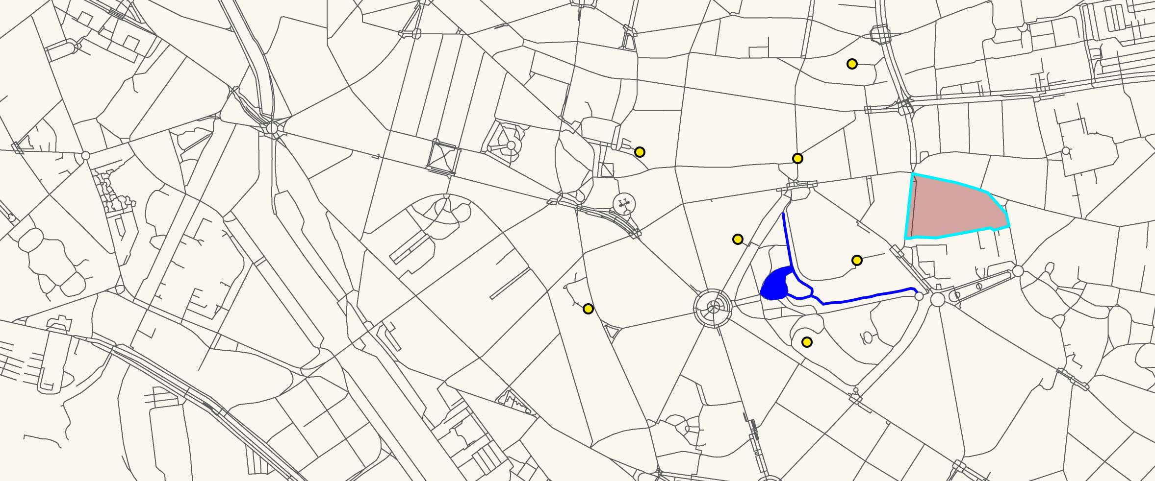
Start creating features on your digital map! Study areas, catchment zones, travel routes, watercourses, locations of health posts or schools, or farms… Literally any geographic feature or phenomena! Get familiar with many different editing tools and techniques.
Who is it for?
Applicable to GIS users in most sectors, it is especially relevant for those working in government administration or NGOs, in health, education, population (census) or regional/national infrastructure.
Pre-requisites
: Foundation skills in QGIS (see Courses A001 to B002)
Estimated learning time
: 3 hours
More information:
full course description PDF